
Historic Maps of Pomfret
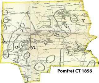
The following links are to historic maps of Pomfret beginning in 1714 with the survey map of what became known as Mortlake drawn by John Chandler. This map includes the property lines of Governor Belcher (Kingswood) which was later bought by Godfrey Malbone of Newport in 1741, and Wiltshire which was bought by Israel Putnam also in 1741. Note the Quinnebaug River on the map. Godfrey Malbone's land deeds in Pomfret always start with the description "The remarkable bend in the river", which can be seen along Day Street in present-day Brooklyn, CT. Malbone accumulated a thousand acres which included the land from the Quinnebaug River on the east to Pomfret Landing on the north and westward to route 169 and most notably, Church Street and Old Trinity Church in Brooklyn which was built by Godfrey Malbone Junior.